The Philippine Atmospheric, Geophysical, and Astronomical Services Administration (PAGASA) is closely monitoring a developing Tropical Cyclone outside the Philippine Area of Responsibility (PAR) that is projected to intensify into a Super Typhoon and enter the PAR.
As of 3:00 a.m. today, Typhoon ‘Mawar' (international name) was located approximately 2,330 km East of (8.3°N, 147.5°E).
It is currently moving in a West Northwestward direction at a speed of 15 kph, with maximum sustained winds of 130 kph near the center and gustiness reaching up to 160 kph.
While the typhoon does not have any direct effects on the country at the moment, it is expected to enter the PAR by Friday and will be given the local name “Betty.”
In anticipation of the typhoon's progress, the Department of Health (DOH) advises the public to prepare and report any untoward incidents that may be related to this weather disturbance.
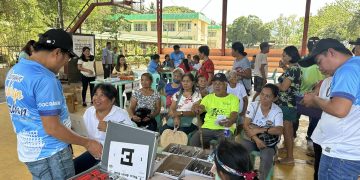
Meanwhile, the Department of Social Welfare and Development's National Resource Operations Center (DSWD-NROC) is undertaking pre-work activities for Family Food Packs (FFPs) in preparation for the tropical cyclone.
Initial deliveries of relief supplies have already been dispatched, and the provision of essential augmentation to DSWD Field Offices along the cyclone's path will continue.


